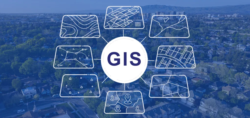
The Geographic Information Systems (GIS) Add-on Course introduces students to the concepts, tools, and applications of spatial data analysis and digital mapping. The course provides practical knowledge of GIS software, spatial databases, remote sensing fundamentals, and geospatial technologies used in urban planning, environmental management, agriculture, disaster management, transportation, and public health. Through hands-on training, students learn to collect, analyze, visualize, and interpret geographic data for informed decision-making.
Objectives
Understand the fundamentals of Geographic Information Systems.
Learn spatial data collection, storage, analysis, and visualization.
Develop digital maps using GIS software.
Explore remote sensing and GPS technologies.
Apply GIS techniques to solve real-world geographical and environmental problems.